Gis4tech produces maps for use by Acción Contra el Hambre after the eruption of the Volcán de Fuego in Guatemala.

GIS4tech, a company born in the heart of the UGR, has produced cartographies that are used by the Action Against Hunger teams working in Guatemala.

The death toll continues to rise as the ash continues to rise. At the time of writing, news agencies are reporting more than a hundred dead, nearly 200 missing and plumes of smoke rising to more than 5,000 metres. The Fuego volcano erupted on 3 June barely 50 kilometres from Guatemala's capital, and its lava, at more than 700 degrees Celsius, has already devastated five villages. These are the most immediate effects of the eruption. But then come the floods, landslides and other collateral phenomena. A company from Granada, GIS4Tech, has been in charge of creating the maps used to coordinate the Action Against Hunger teams working in Central America.

This is not the first time that this company has collaborated with the NGO on projects in this region. The spin-off of the University of Granada - in which its five founding partners, all of them linked to the academic institution, have been working since the end of 2016 - developed a cartography to study the relationship between the isolation of rural communities and acute child malnutrition. "They knew us, they knew about our work, and in the face of the emergency, the possibility arose for us to produce maps for the use and risks of volcanic flows," explains Jorge Hernández, one of the founders.

So after receiving the assignment, they gave priority to this work, which they delivered a couple of days later to the NGO. The matter is not trivial: cartography is scarce in Guatemala, and in an emergency situation like this one, having the guidance of a map is indispensable.
Cartografía de riesgos volcanicos y Lahares del Volcán de Fuego en Guatemala realizado tras su erupción para Acción Contra El Hambre

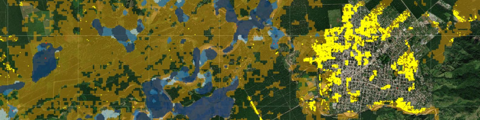
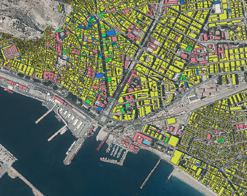
GIS4Tech's designs have a dual function in the aftermath of the catastrophe. On the one hand, they have shown on paper the effects of the eruption of the Fuego Volcano - at a glance, the area where the lava has flowed, or the areas where the ash is flying -, indicating the built-up areas, schools or roads, and on the other hand, they have shown the effects of the volcanic eruption of the volcano on the ground.

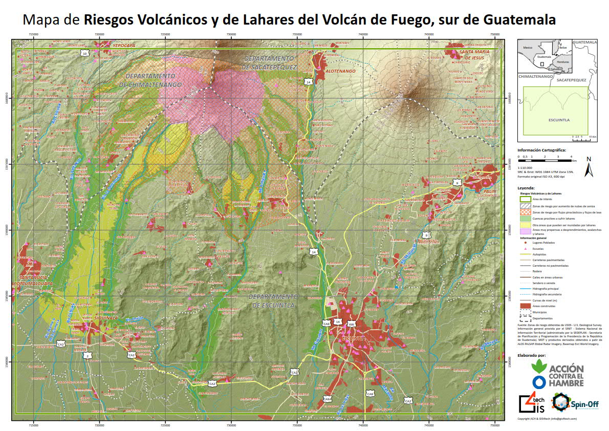
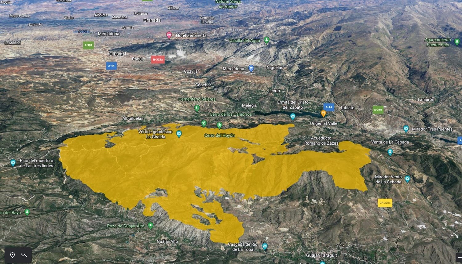
Another map - the more comprehensive at first glance, the one illustrated on this page - anticipates these 'side effects'. For example, the areas prone to lahars: broadly speaking, streams of water, stone and ash, among other materials, that slide down the slopes of the volcano. Their virulence is sometimes even more damaging than the lava itself during the eruption. The pink colour of the map, on the perimeter around the crater, warns of the risk of landslides.

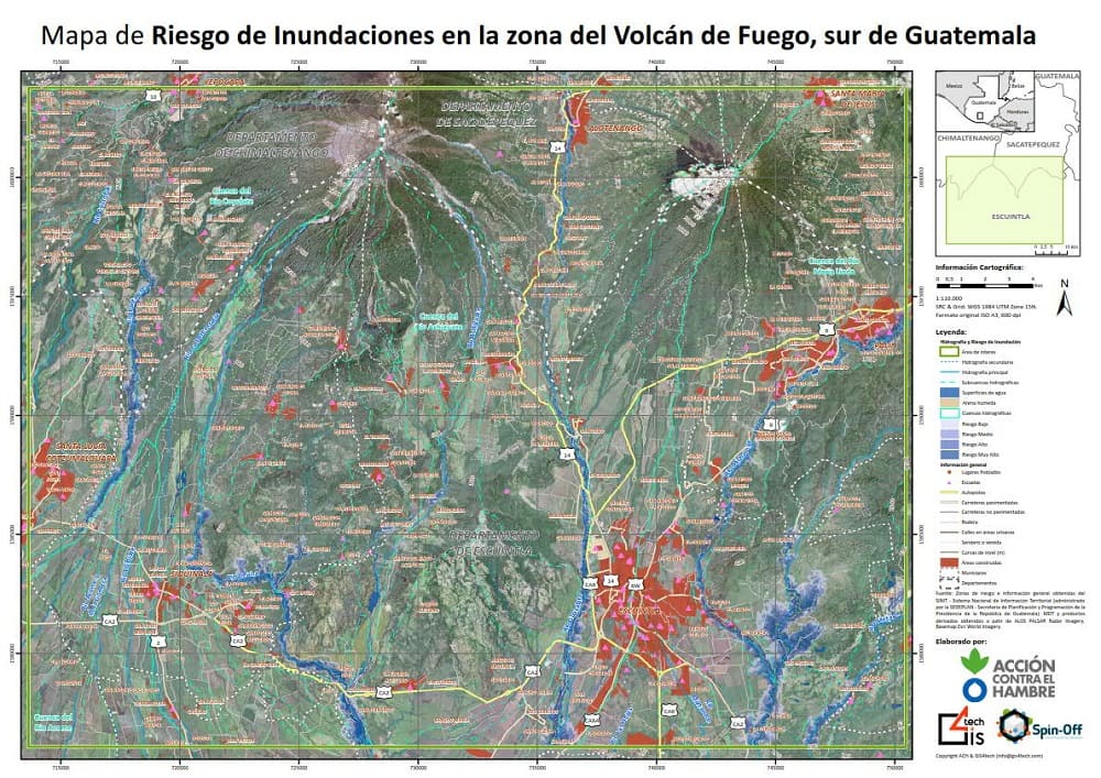
They have used satellite images, combined with information obtained from Guatemala's national systems or digital terrain models produced by NASA, among other data.

For practical purposes, the mapping of the Grenadians serves, for example, to know where to locate the shelters. So that the personnel displaced there - not only for Action Against Hunger, but also for other NGOs or UN personnel - know which populations will need to be evacuated in the event of new seismic movements.

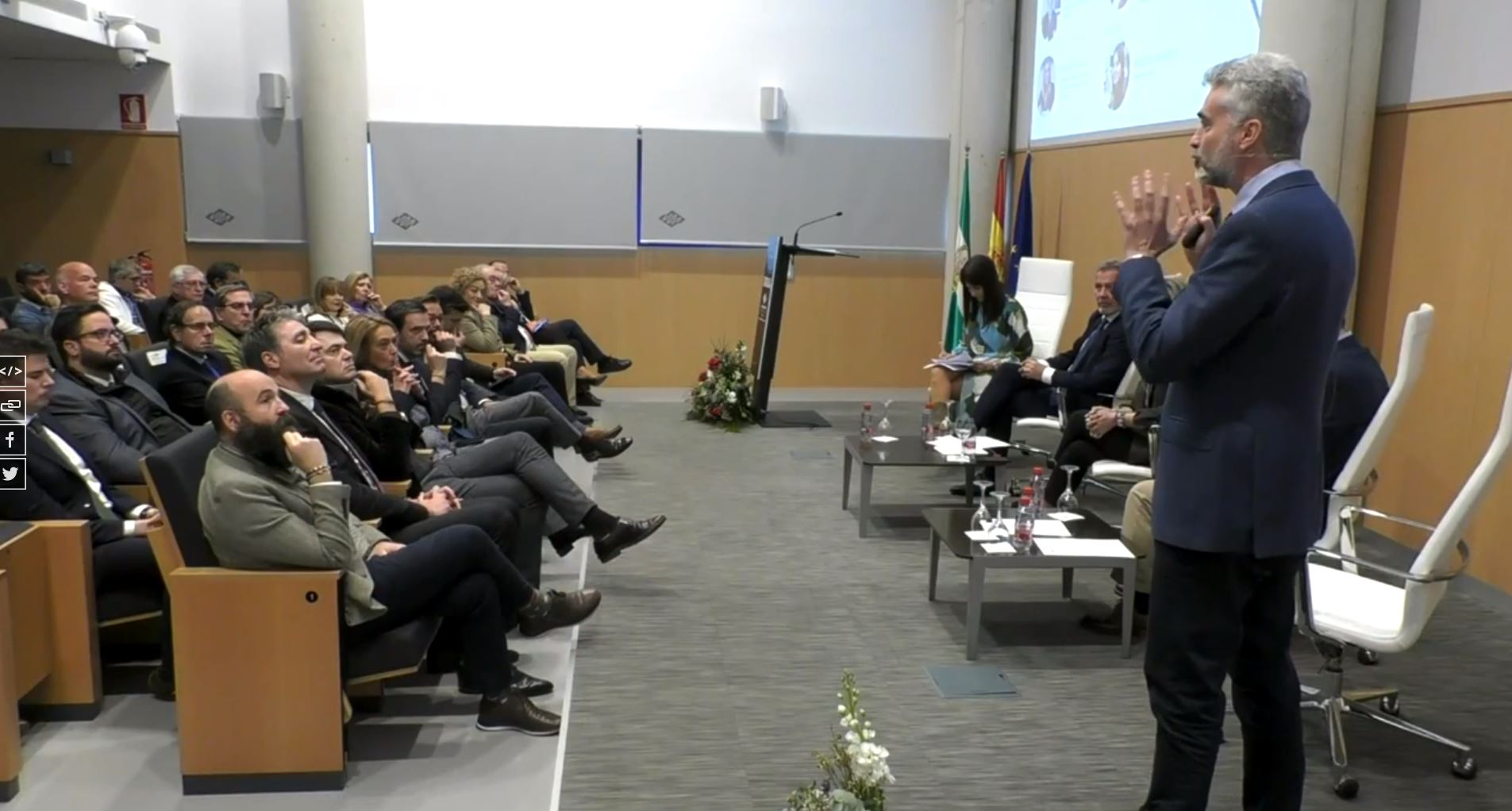
In short, says Jorge Hernández, the Granada designs facilitate coordination between the different organisations, both internally and with the different embassies, so that they can "provide a response as quickly as possible.

Cartografía de riesgo de inundaciones del Volcán de Fuego en Guatemala realizado tras su erupción
Comparte en:

YOU MAY ALSO BE INTERESTED IN

The information in this article has been obtained from the following newspaper Ideal

error: Content is protected !!