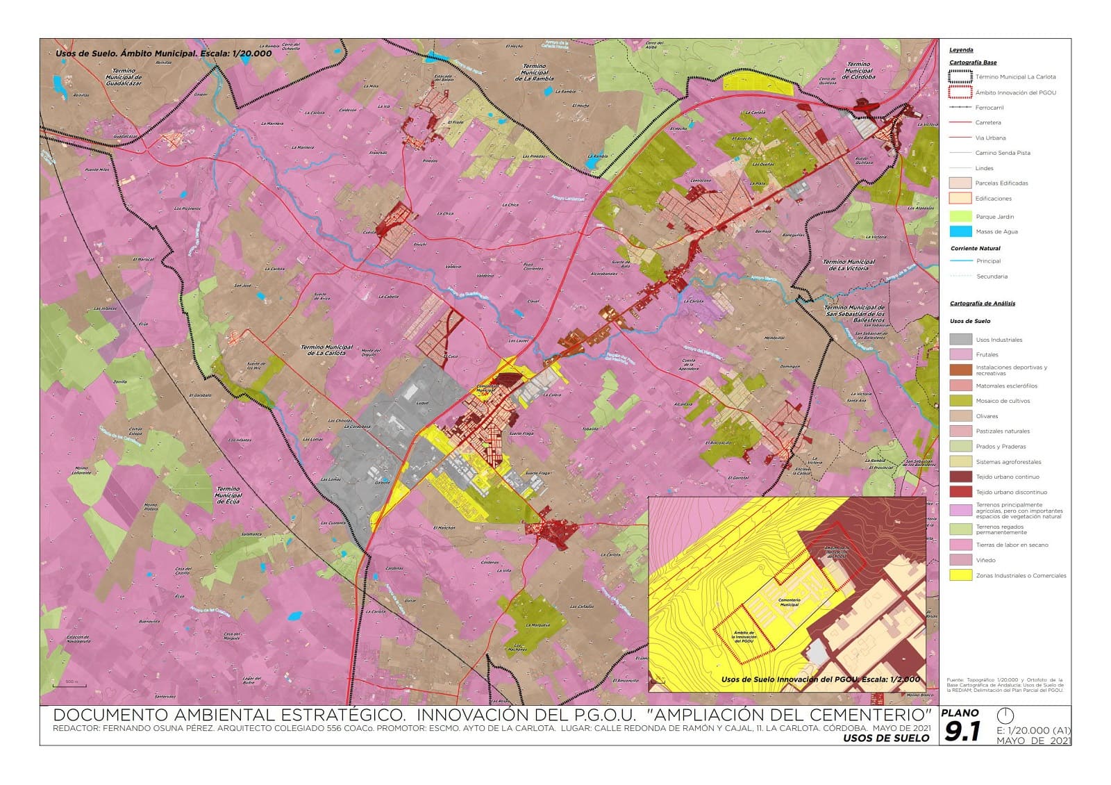
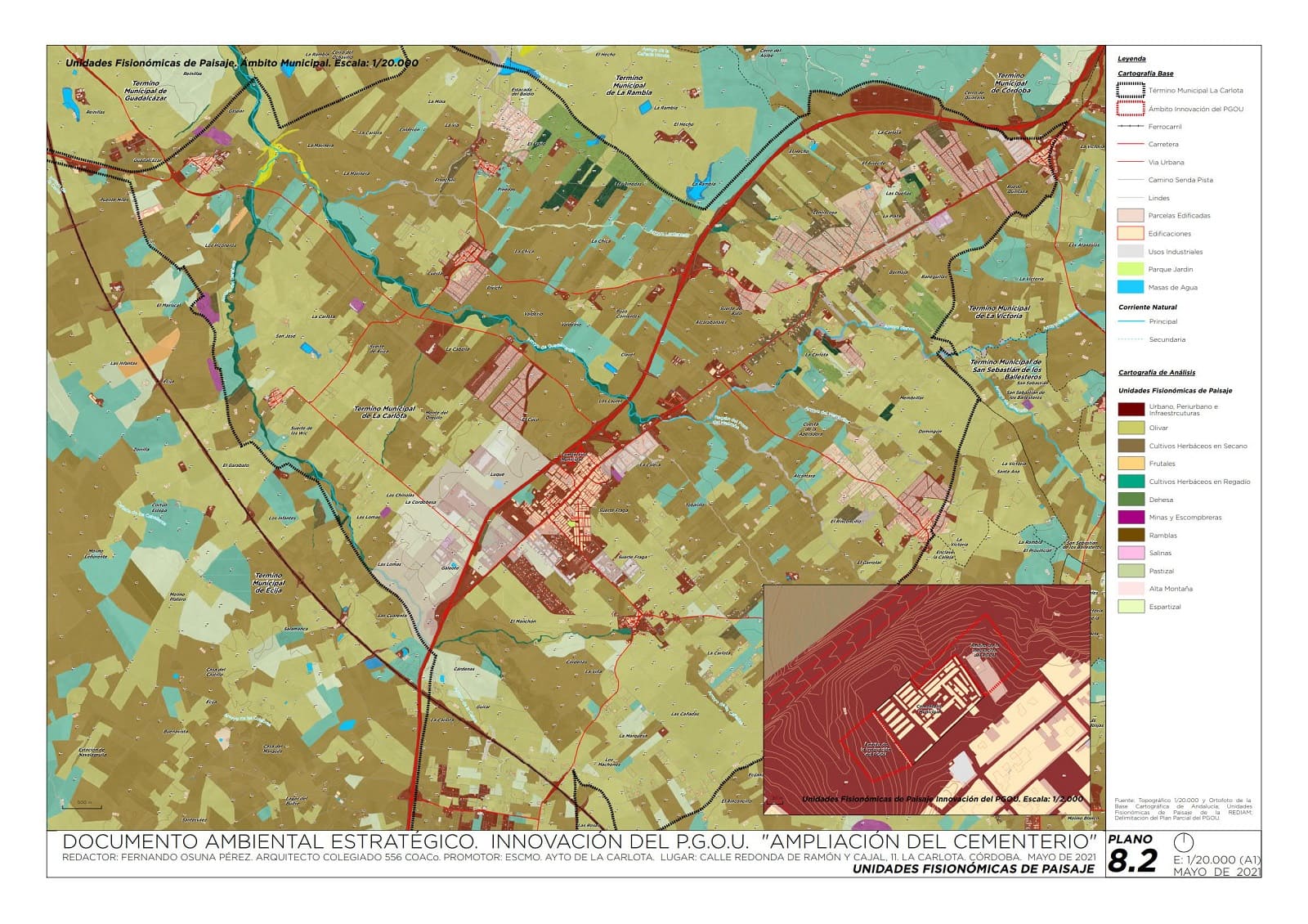
The main goal of this project, collected in the Strategic Environmental Assessment of the General Plan of Urban Planning of The Carlota, was focused on the study of the expansion of the capacity of the municipal cemetery and its equipment and the expansion of industrial land in the municipality.
To do this we developed municipal, urban and structural planning, geology, flora and fauna, scenic areas, conditions sectoral electricity infrastructure, width livestock, asset protection and contamination of aquifers cartographies along with erosion risk and risk geotechnical mapping.
Correo electrónico: info@gis4tech.com
