What urban factors are determinants of business success? What urban areas have or produce economic value and quality of life? What investment and logistics are needed to set up or relocate a business location? How do we know if systems (land, urban, planning, networks) are sustainable and functioning as intended? How can vitality be injected into segregated urban areas? The term "Location Intelligence" answers all of these questions.
With the help of urban and territorial analysis identificamos localizaciones óptimas y atractivas para el desarrollo de negocios y la implantación de actividades públicas y privadasWe combine data analysis with Geographic Information Systems, Artificial Intelligence and Business Intelligence at an advanced level to produce maps and interactive graphics with geospatial data to answer the questions and solve the problems posed by institutions, organizations or companies in the field of localization.
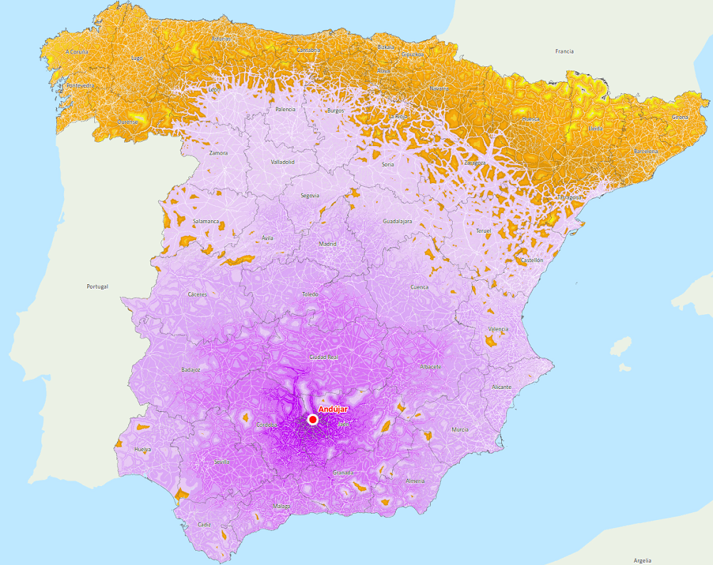
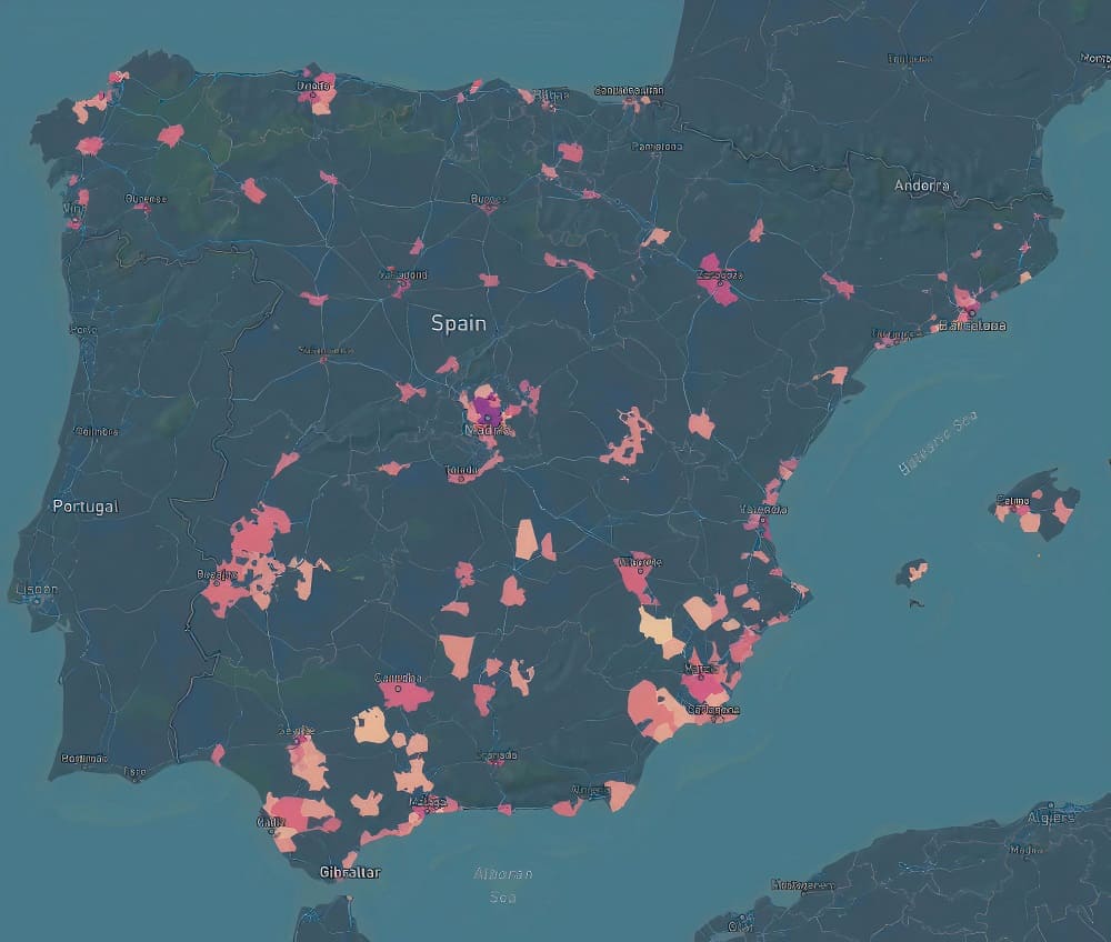
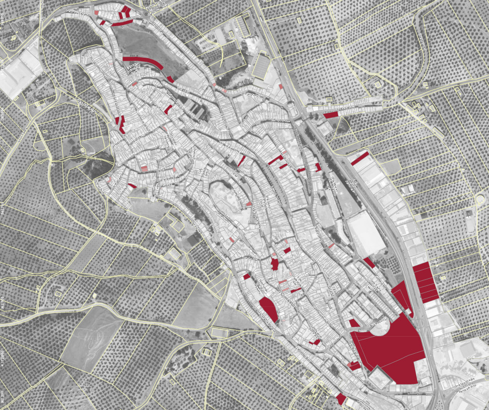
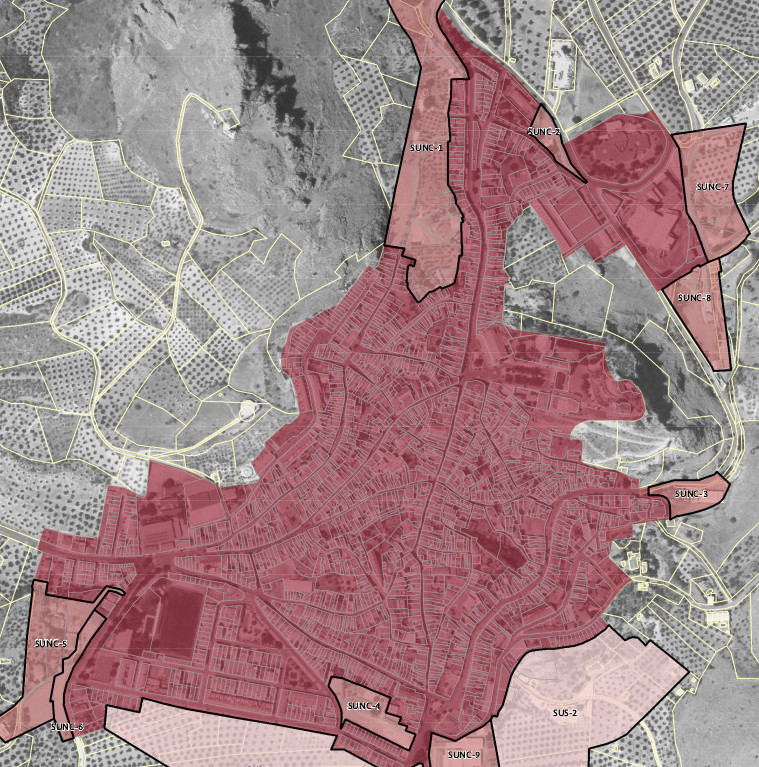
The data we collect, analyze and process provides useful information, bringing a new dimension to the space sector that provides a multitude of possibilities. Some examples can be the study of the relationships between urban morphology, land uses, people's behavior or real estate market trends (trendy neighborhoods, preference for areas that are further away from the cities...).
In addition, we research programs and concepts for urban development and real estate asset management through the use of«Income Maps». Likewise, we evaluate the efficiency and sustainability of mobility and transportation networks, providing solutions for its optimization and thus promoting active travel through new approaches to the urban fabric.