We develop work to study, predict or modify the natural or human impact on water and the environment. We carry out hydrological and hydraulic studies, flooding studies, environmental plans, environmental impact and ecological impact studies and land use studies. The aim is to improve our clients' territorial management capacity and increase their knowledge to reduce the ecological impact of their activities. We offer our solutions to both private companies and public sector organisations.
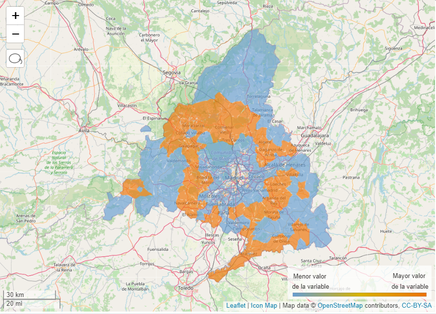
At GIS4tech we are committed to the development of non-urban areas and the improvement of the quality of life of their communities.. For this reason, a large part of the projects we carry out consists of studies for the management of the territory and the water and environment through the GIS.
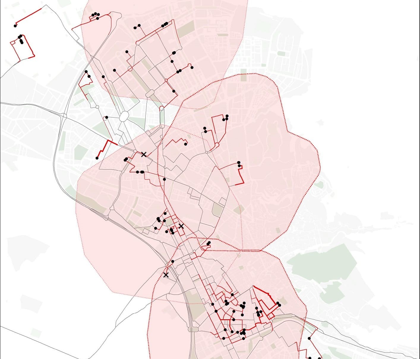
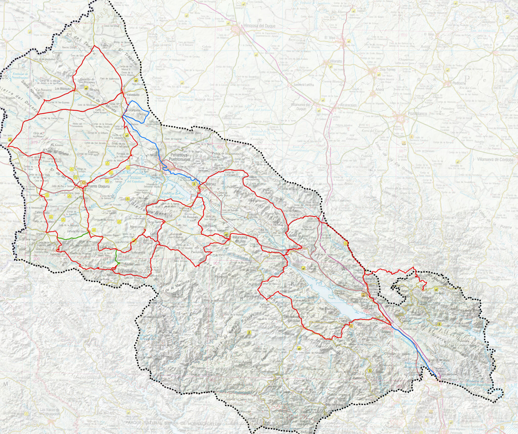
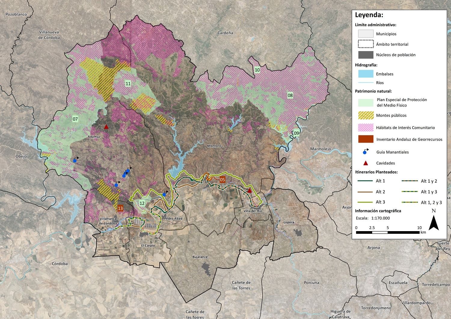
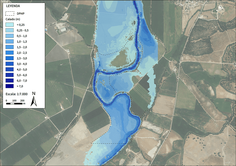
In particular, we play Feasibility Studies and Construction of Nature Trails or MTB and Cycle Tourism Circuits. The aim is to increase the tourist, heritage or leisure interest of rural areas and to increase their social and economic development, as well as to reuse disused infrastructures. We are also experts in the carrying out Flood Studiesto prevent or reduce the effects of flooding caused by increased water flow by means of mapping, Digital Terrain Modelling (DTM) and simulations. Our other services include Territorial and Land Use Studies, to know the capacities and limitations of a piece of land and to facilitate its appropriate management and use. This is done by identifying suitable characteristics for the establishment of ecological or agricultural areas, among others.