
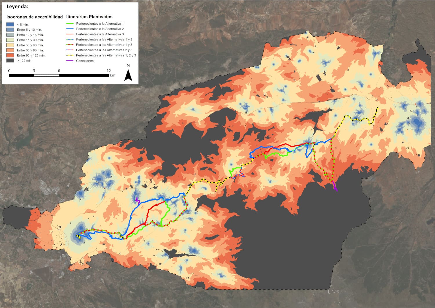
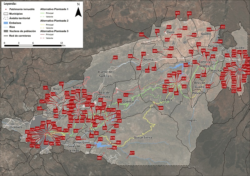
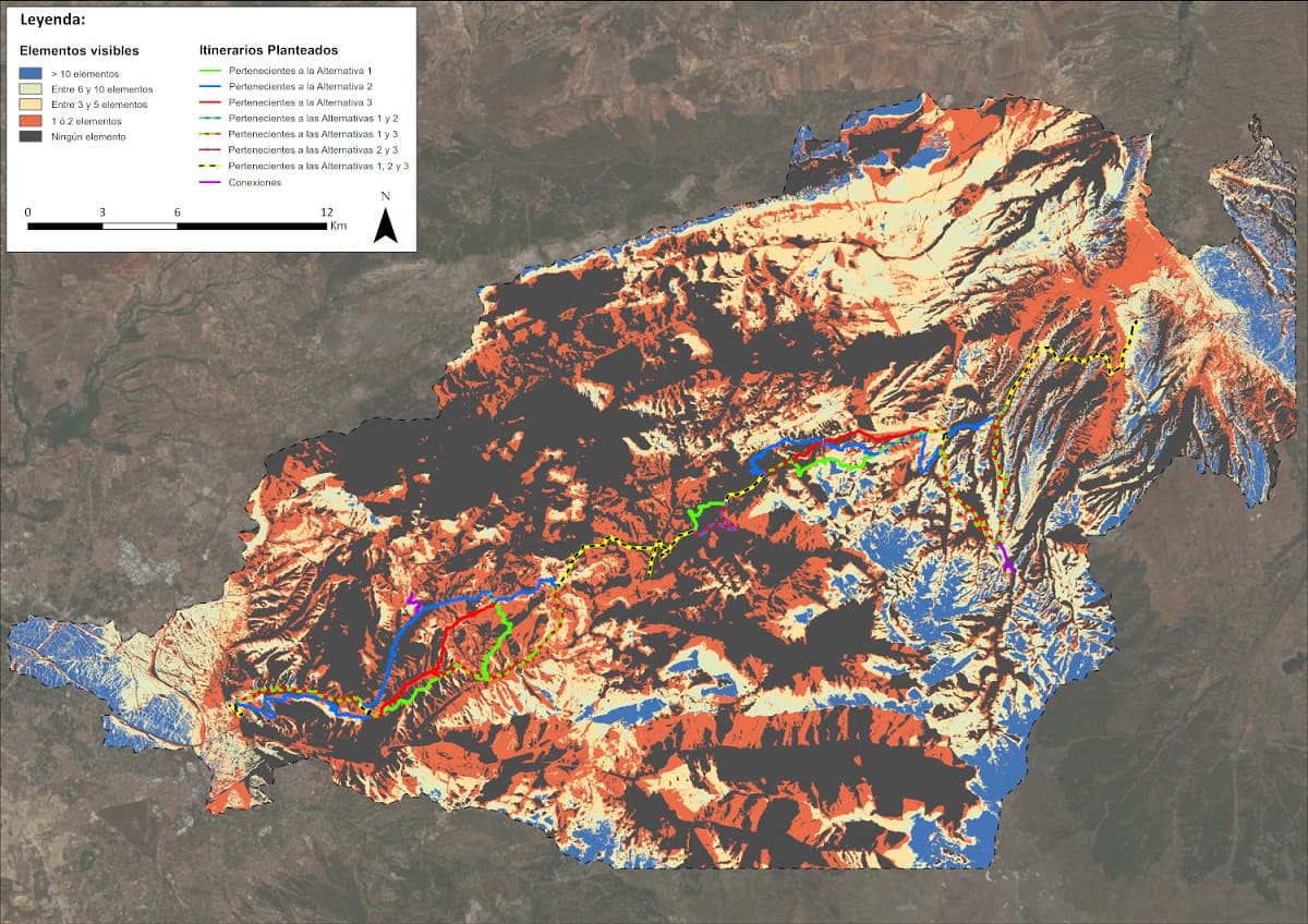
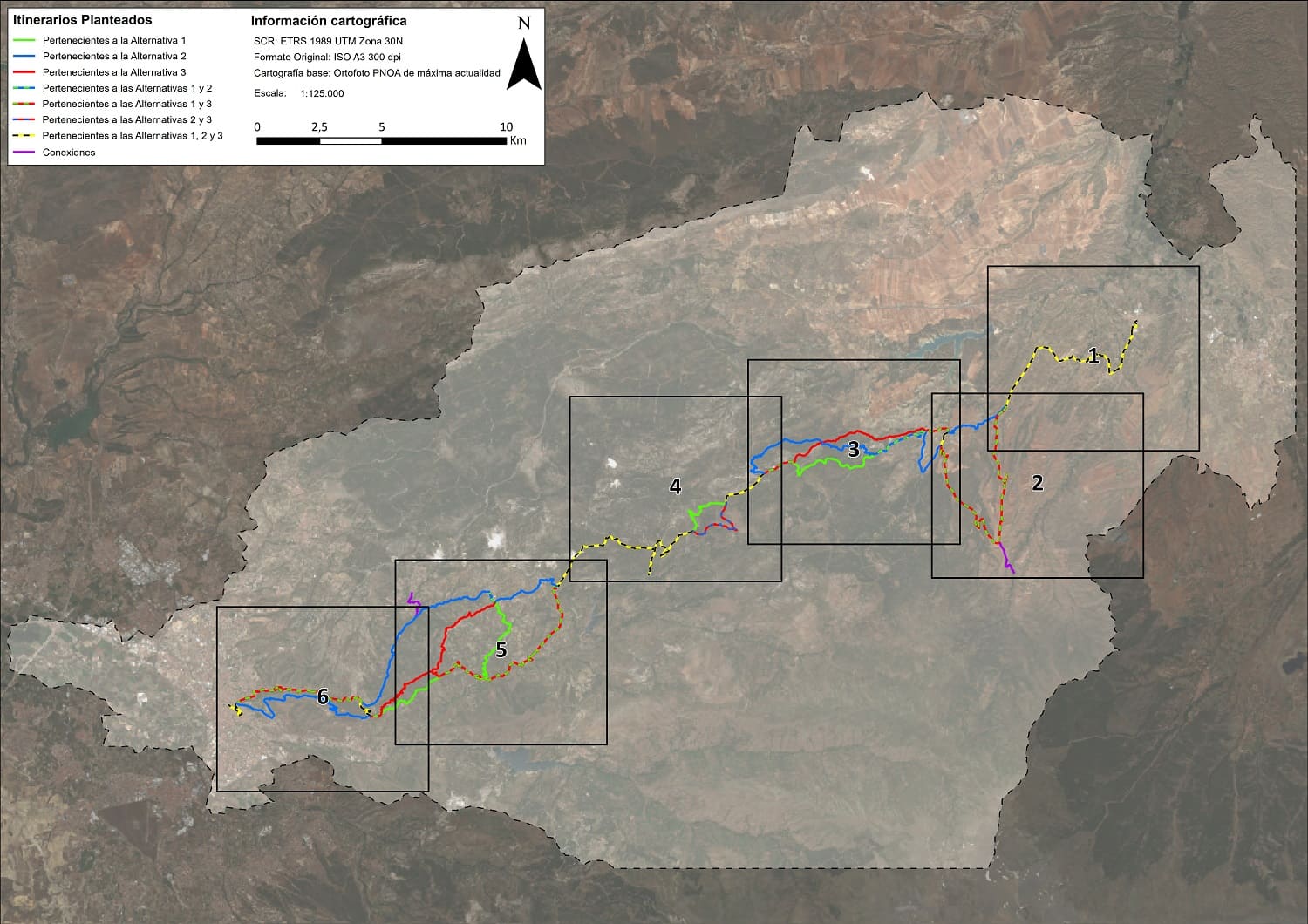
In this project, it have been conducted topographic precision of territory, fitness, visibility and accessibility studies by using LiDAR techniques taking into account environmental, social and economic factors with the aim to check the possibility of establishing a natural path between the municipalities of Purullena and Granada and choosing the most relevant path and adapting it with accessibility measures, signage and connection with other surrounding natural paths
Also we developed a structured database with all the spatial information collected facing the future maintenance of this natural path or another type of paths in the Province of Granada and their inclusion in a global database of the European Community.
Correo electrónico: info@gis4tech.com
