The sciences of the Artificial Intelligence provide techniques for the understanding and characterization of the coherences and the patterns that constitute reality. These include artificial neural networks and, specifically, the Maps are Self-organized (SOM) for their ability to map the reality, representing their objectives distributed structured bidimensionalmente, based only on their properties.
Originating as a series of relationships topological that allow you to turn the grouping and characterization of reality, and explore these representations as a method of obtaining of information and interpretation of reality.
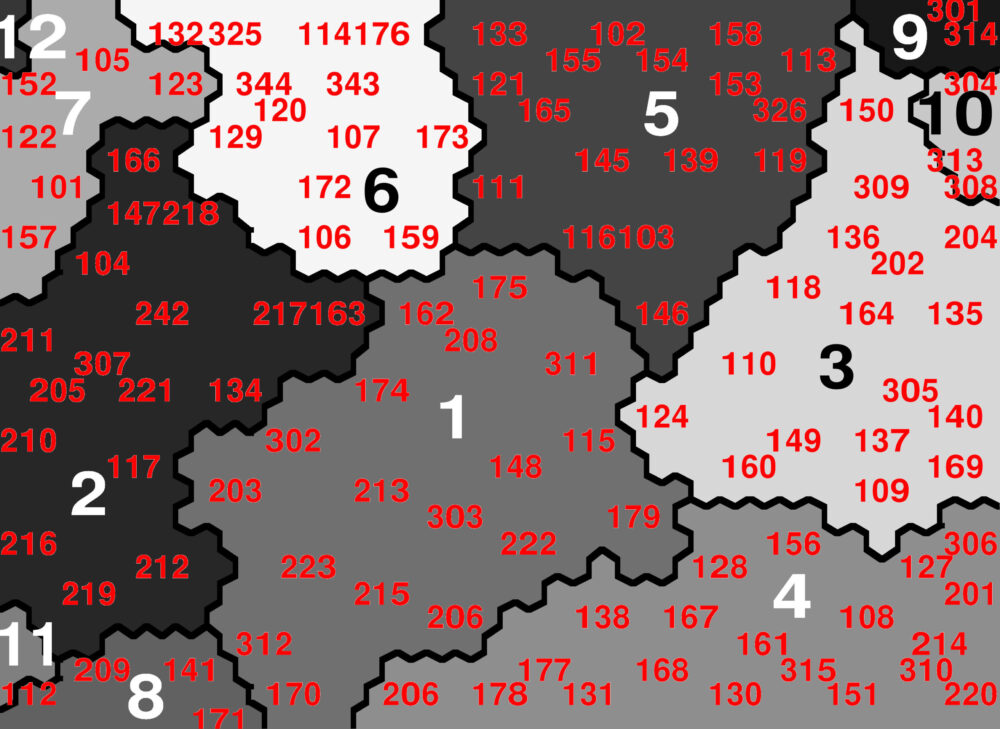
Such techniques will be implemented for the understanding of the residential fabric that compose the performance areas, resulting in a typological grouping that allows to characterize the urban forms from their defining variables and especially by comparison to the surrounding fabrics and the exemplary residential models that are part of the database of GIS4Tech.
